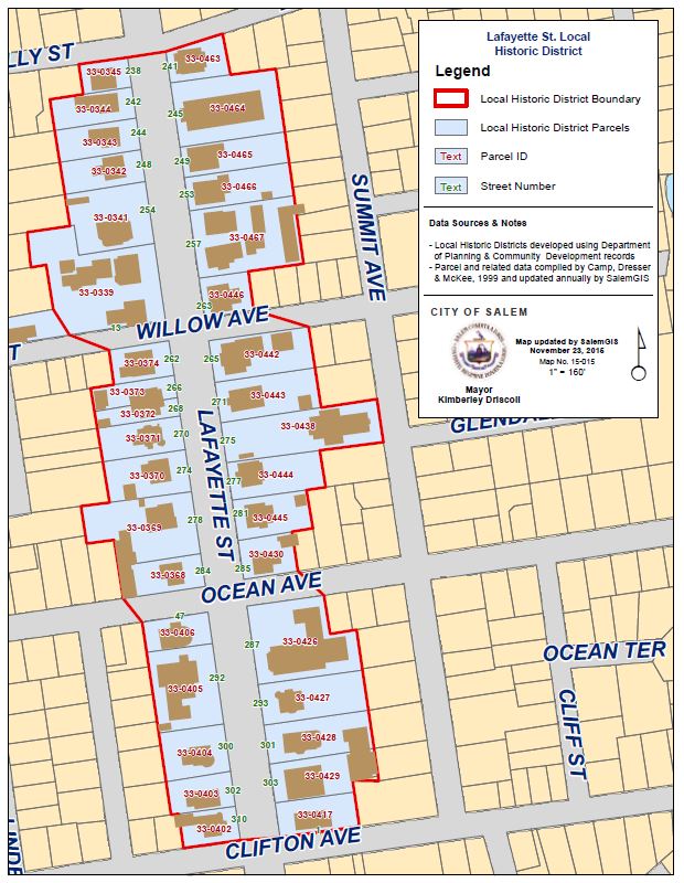
Lafayette Street District Map
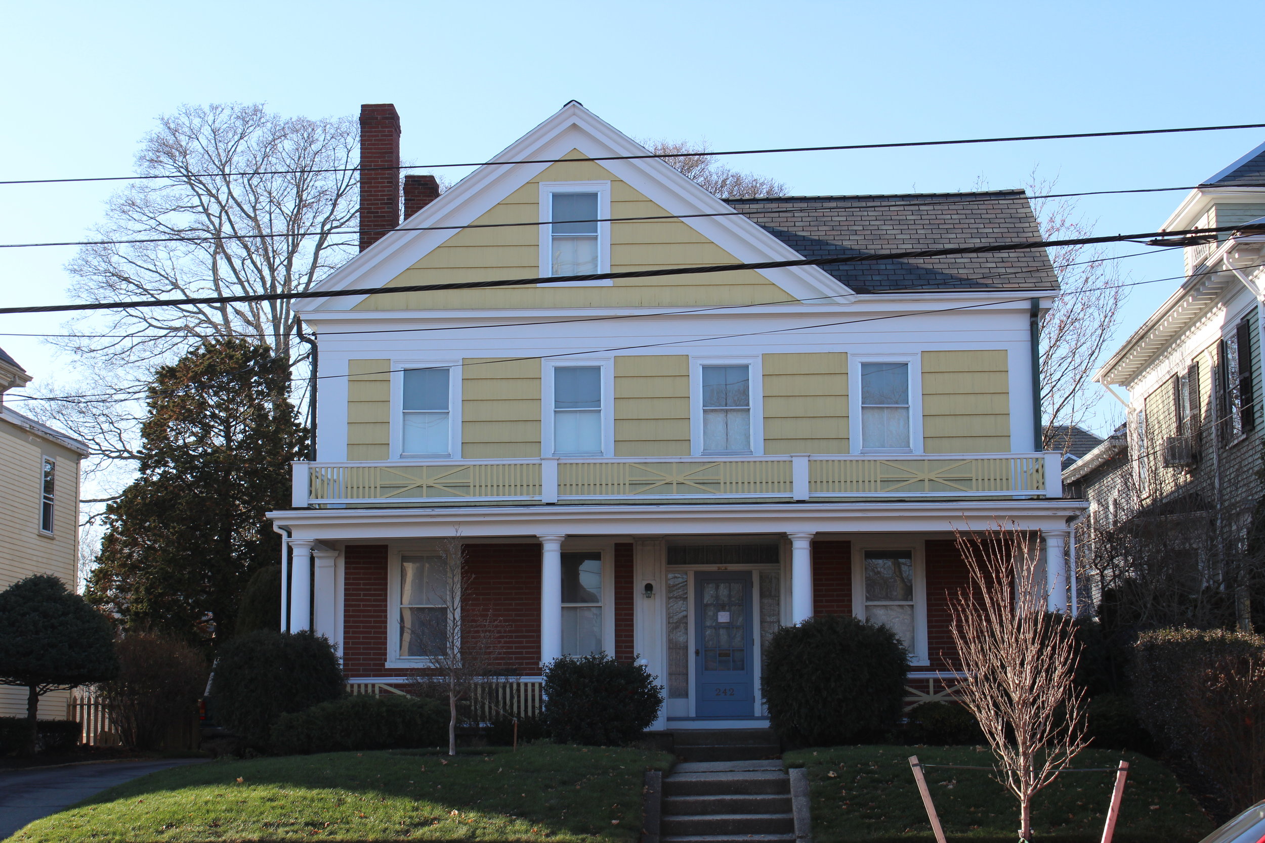
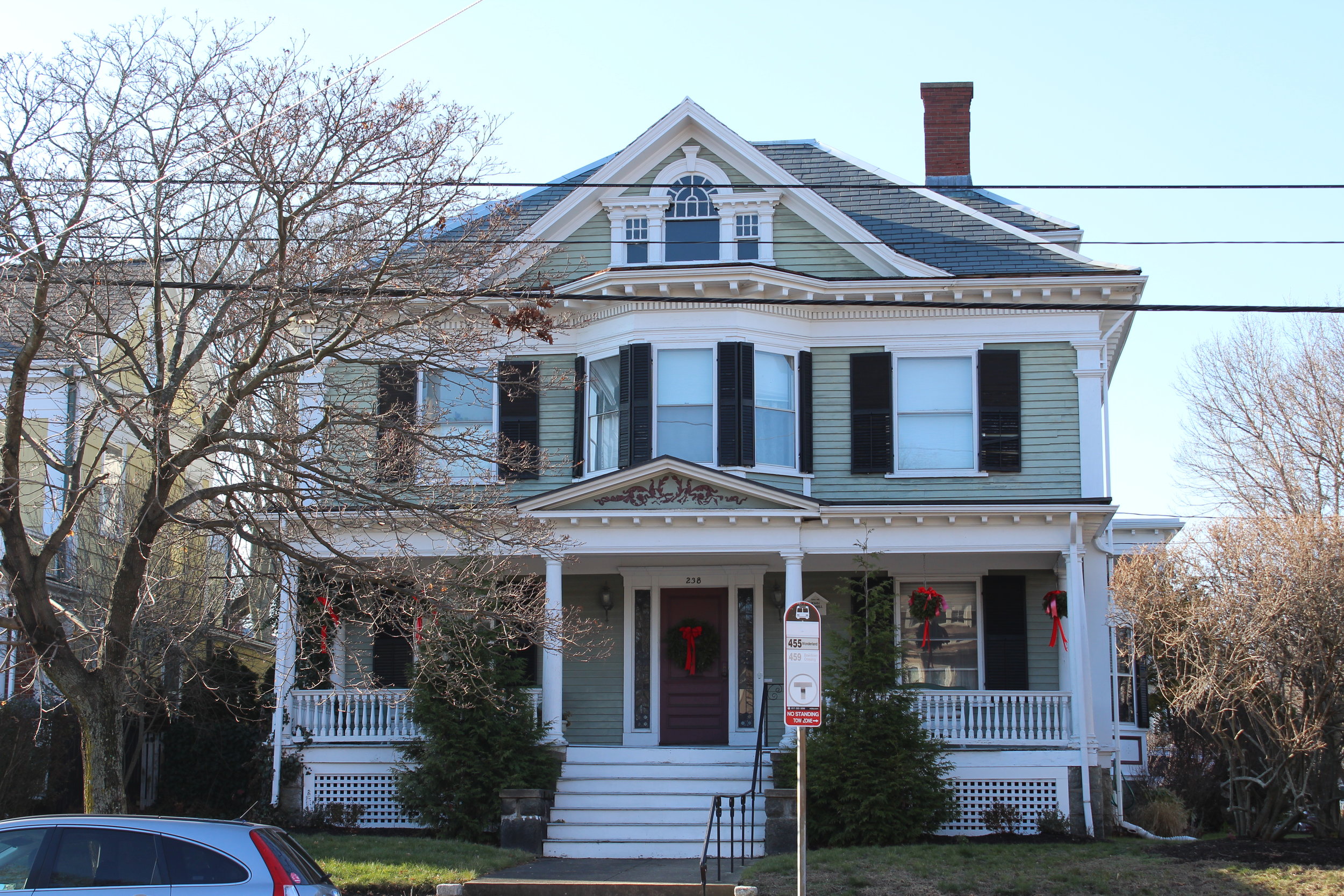
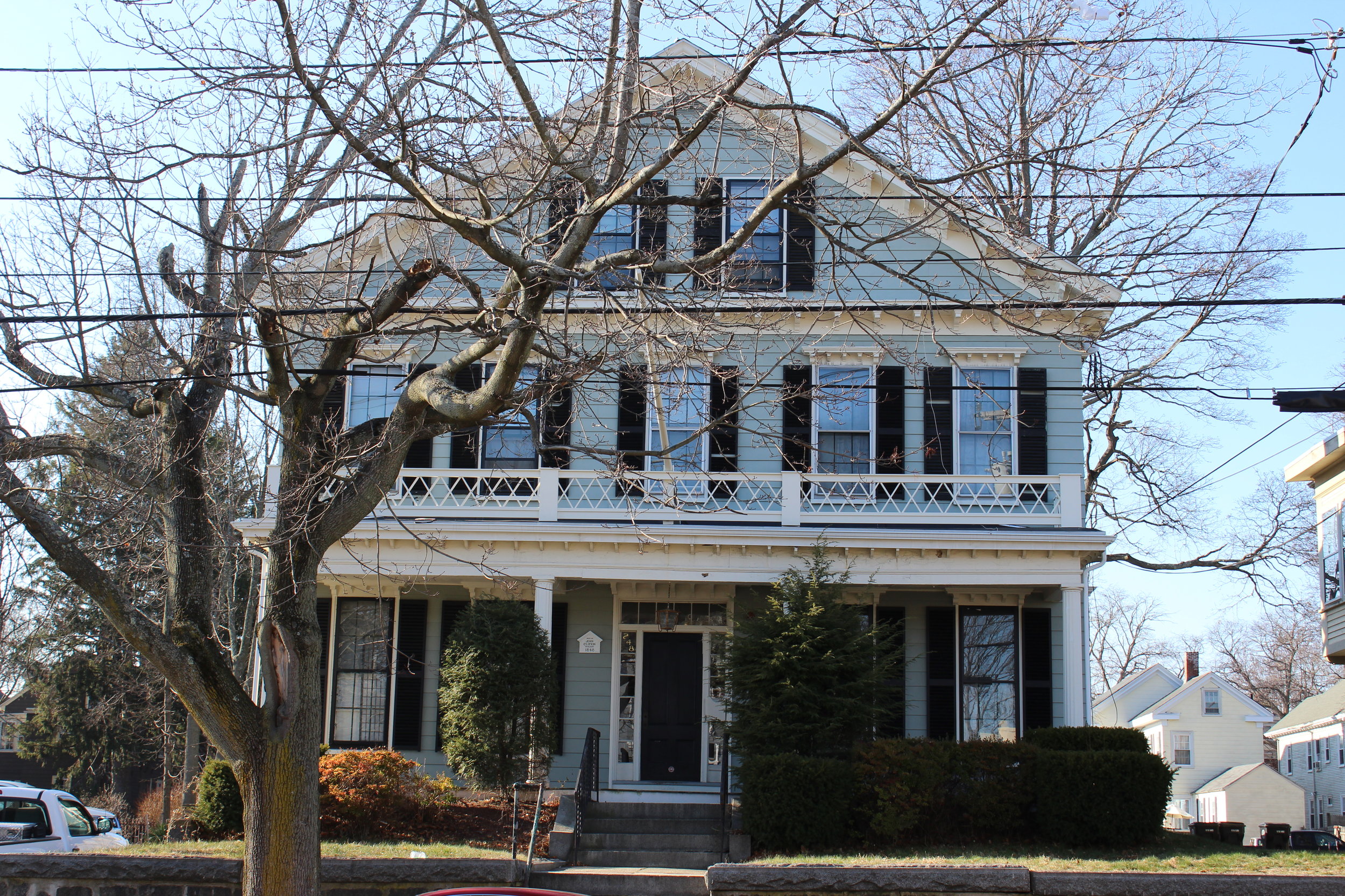
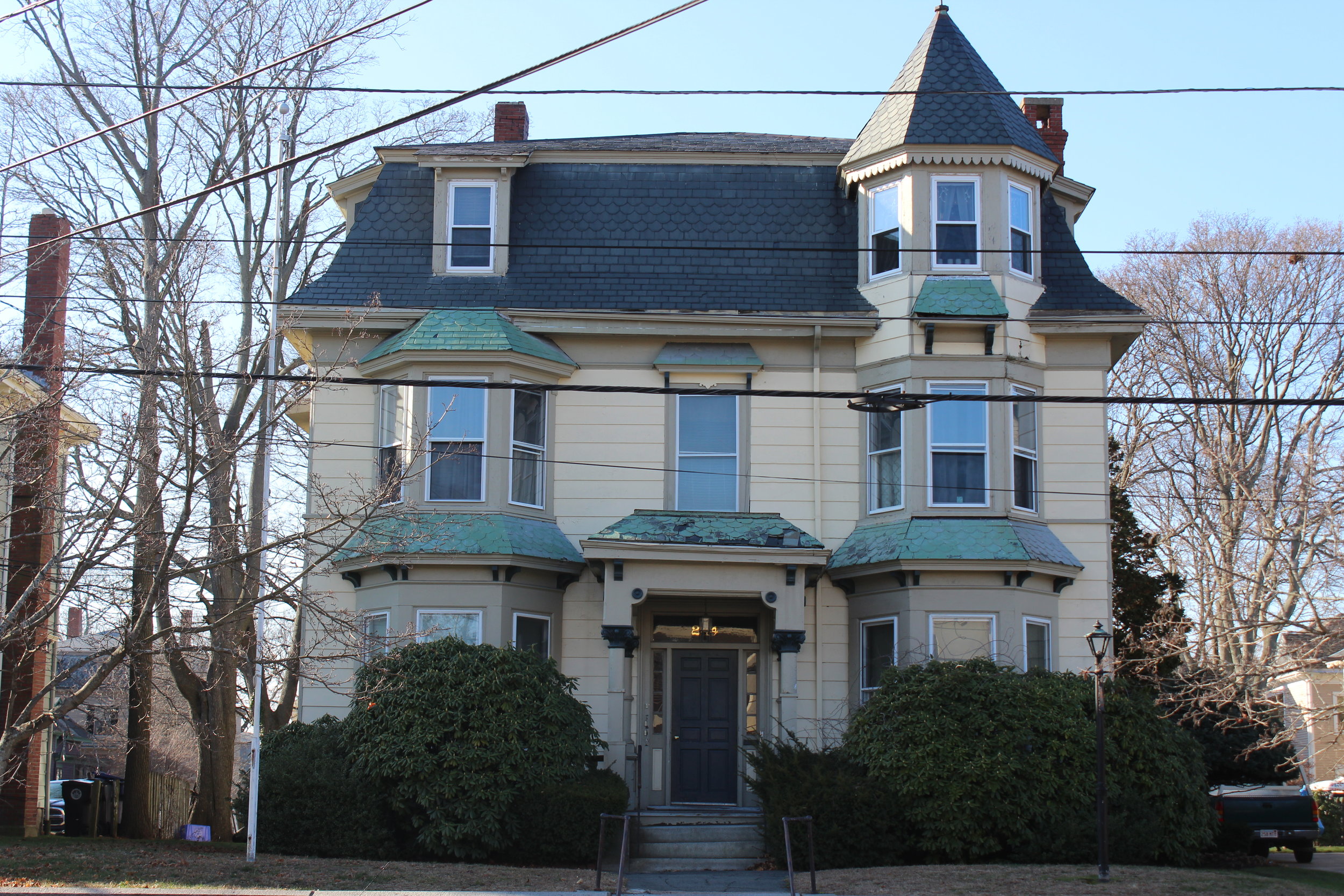
LAFAYETTE STREET HISTORIC DISTRICT
- Local historic district established in 1985;
Includes 34 residential properties, two former religious buildings and a former public library;
- Buildings range in date from 1848 to 1986;
Encompasses three blocks of Lafayette Street from Holly and Leach Streets to Forest and Clifton Avenues.
History of Lafayette Street
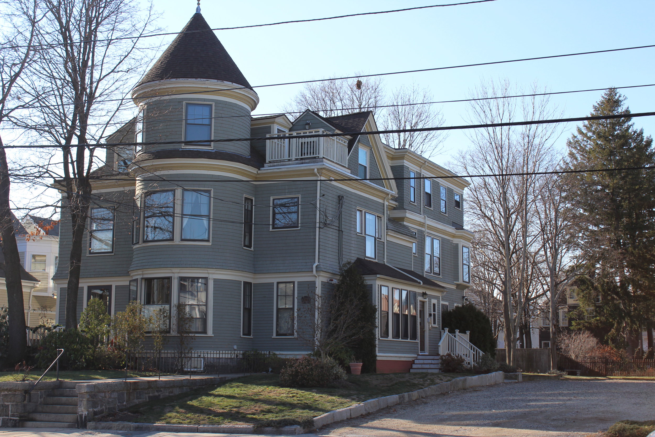
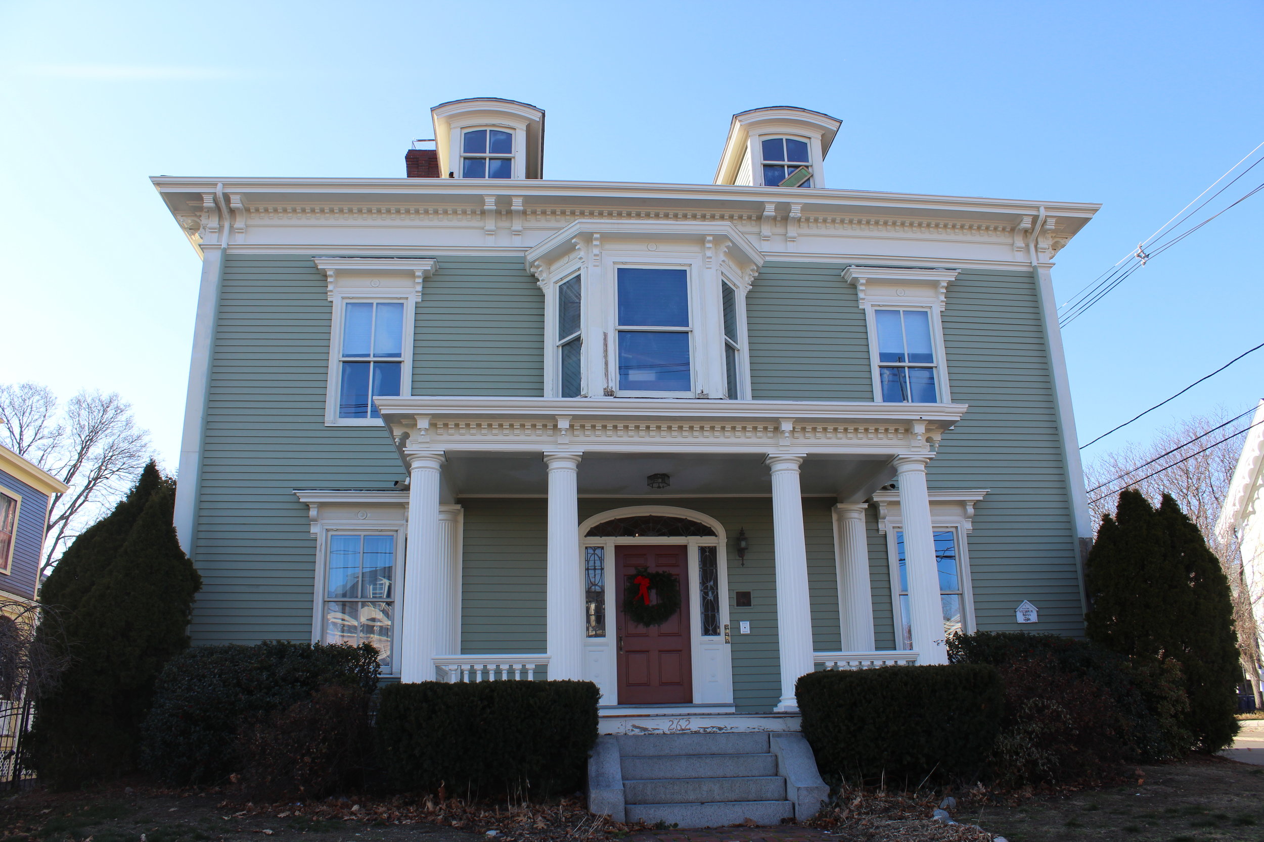
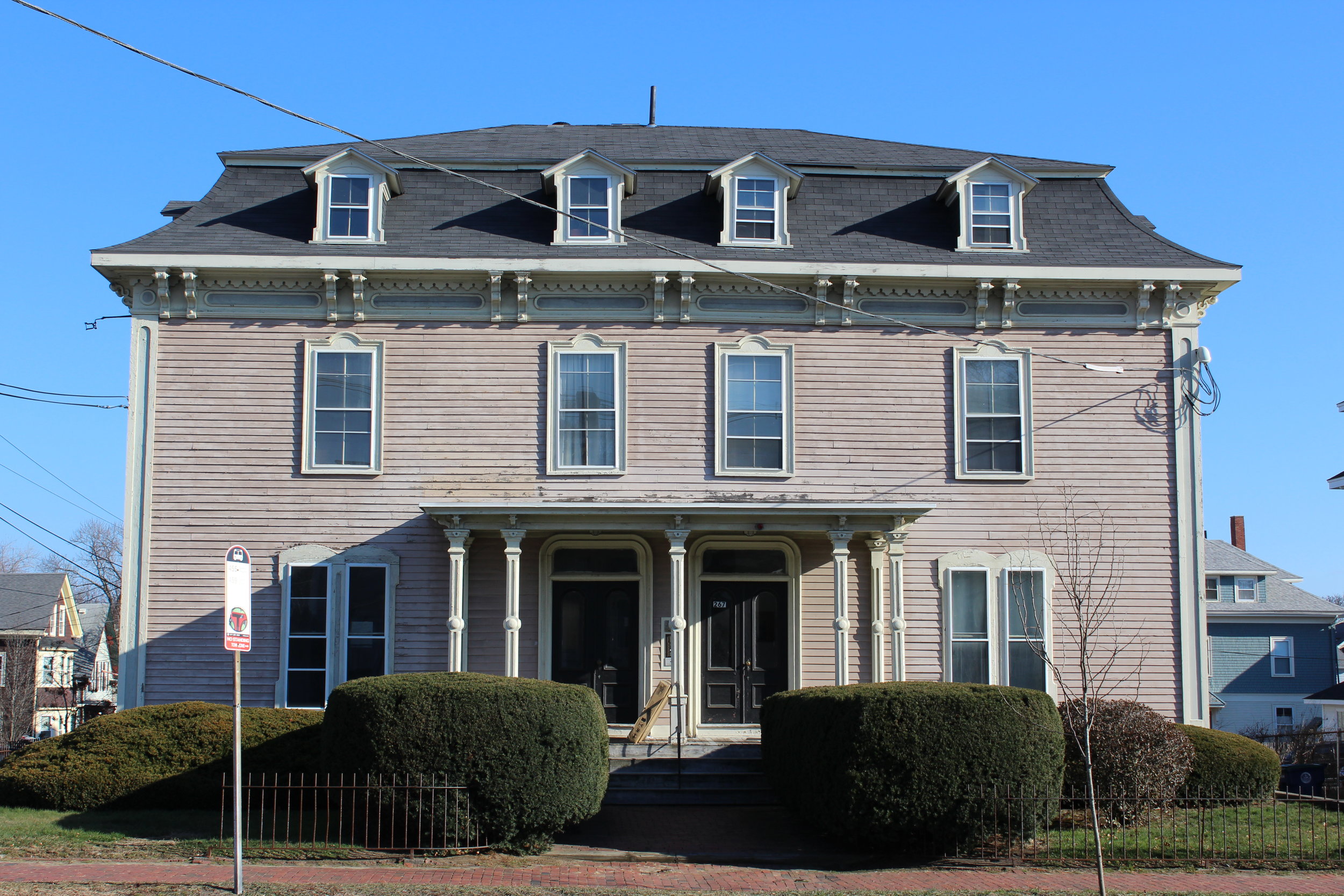
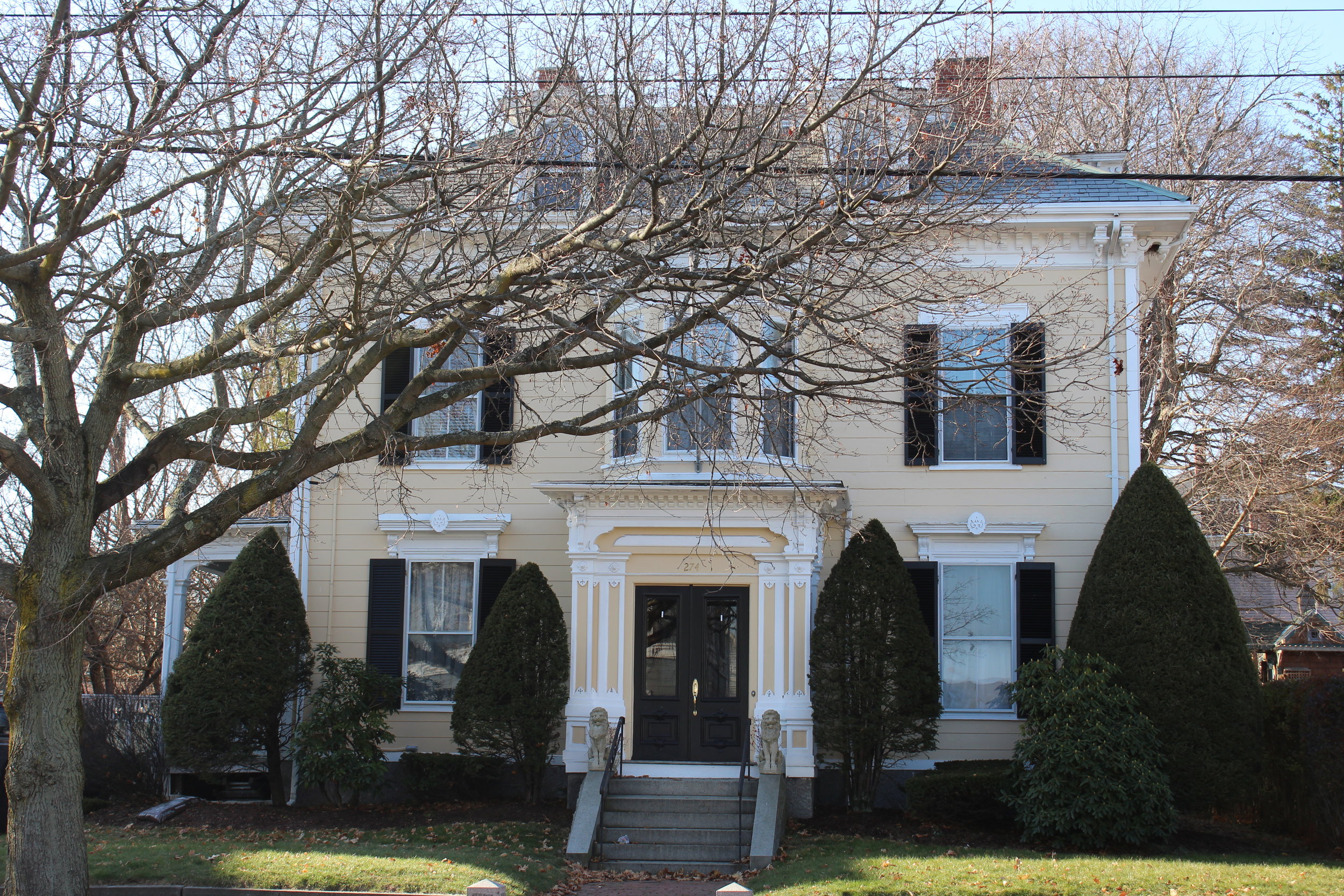
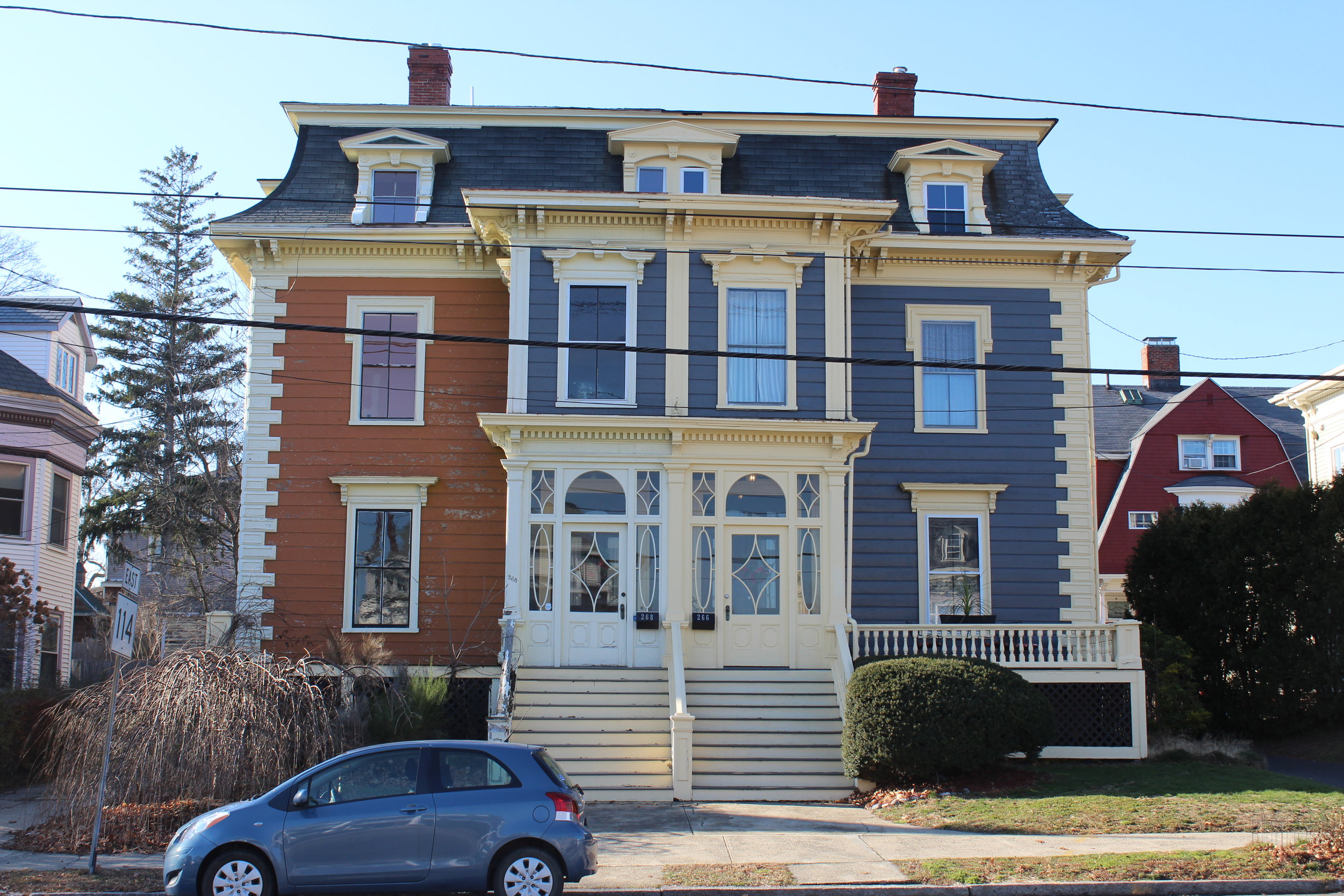
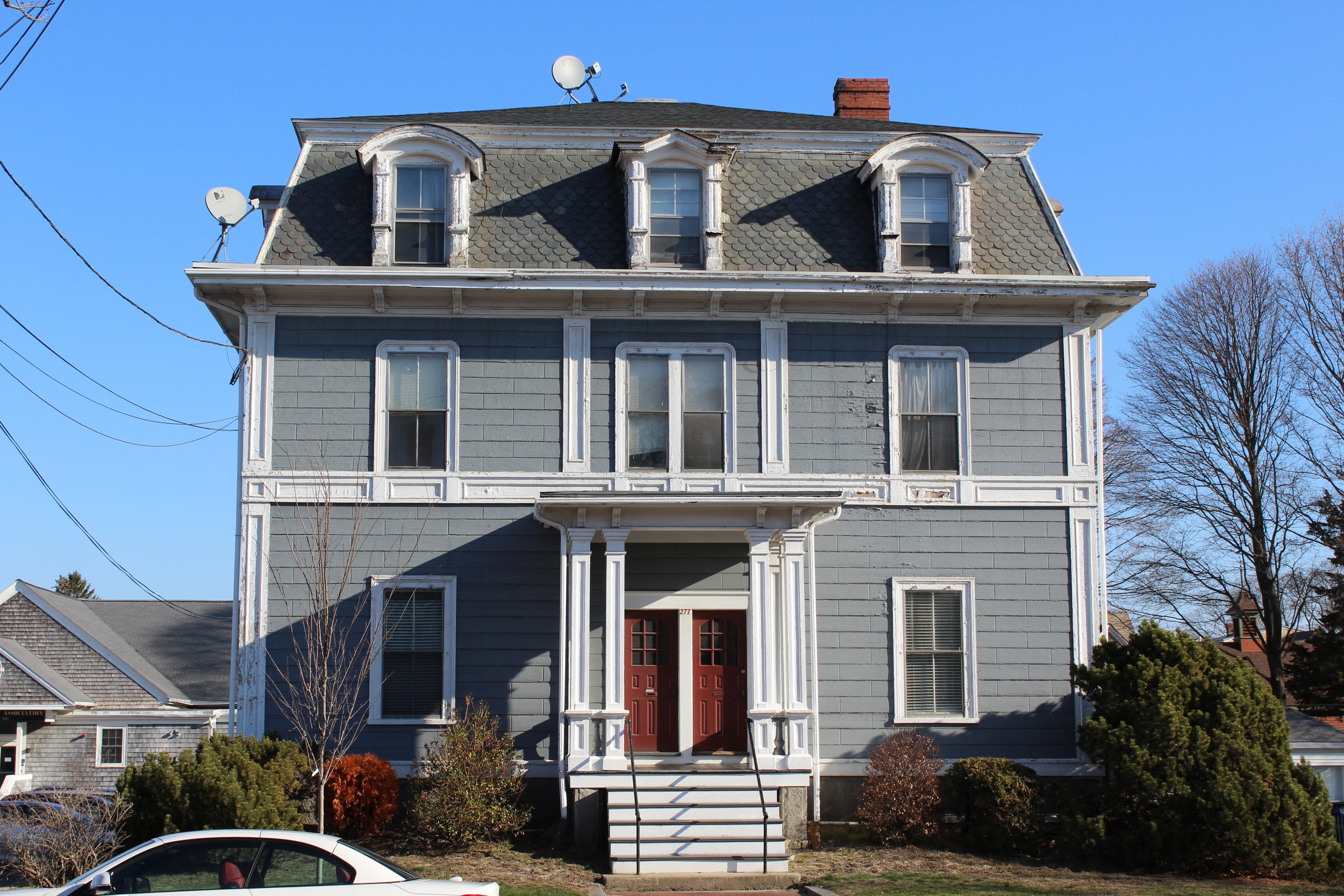
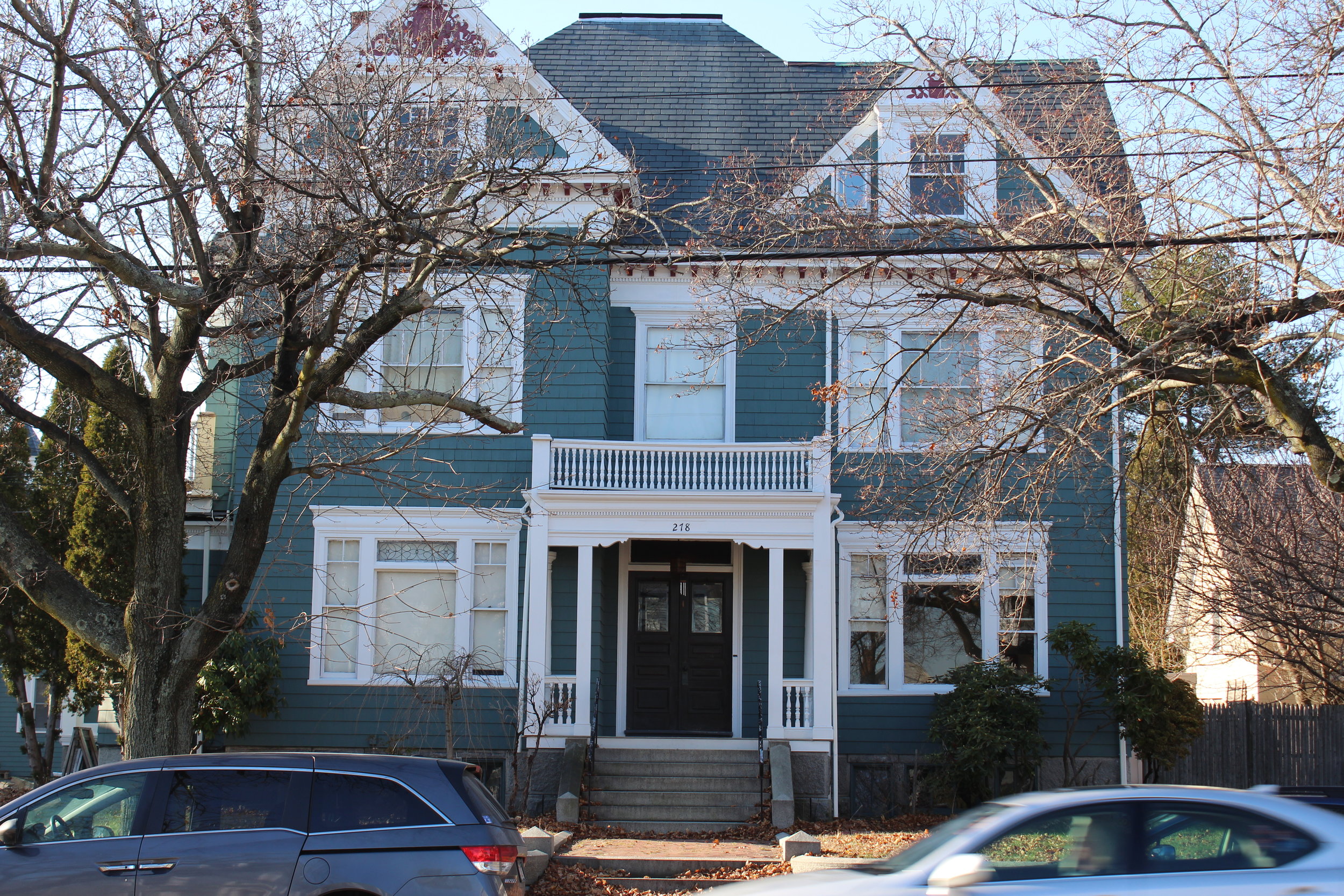
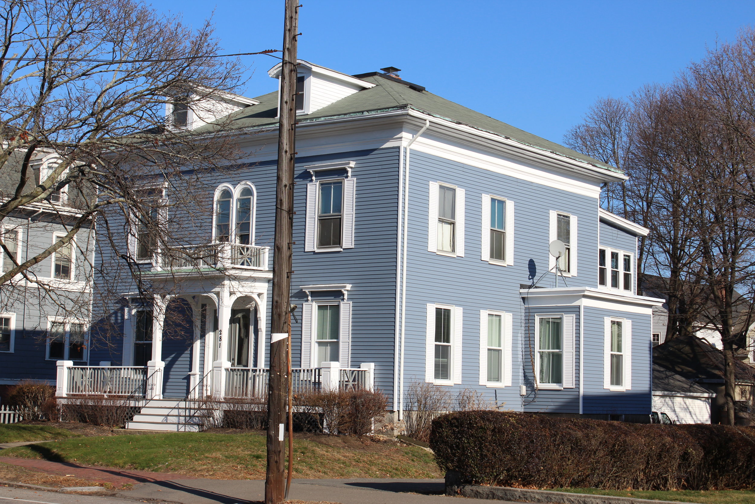
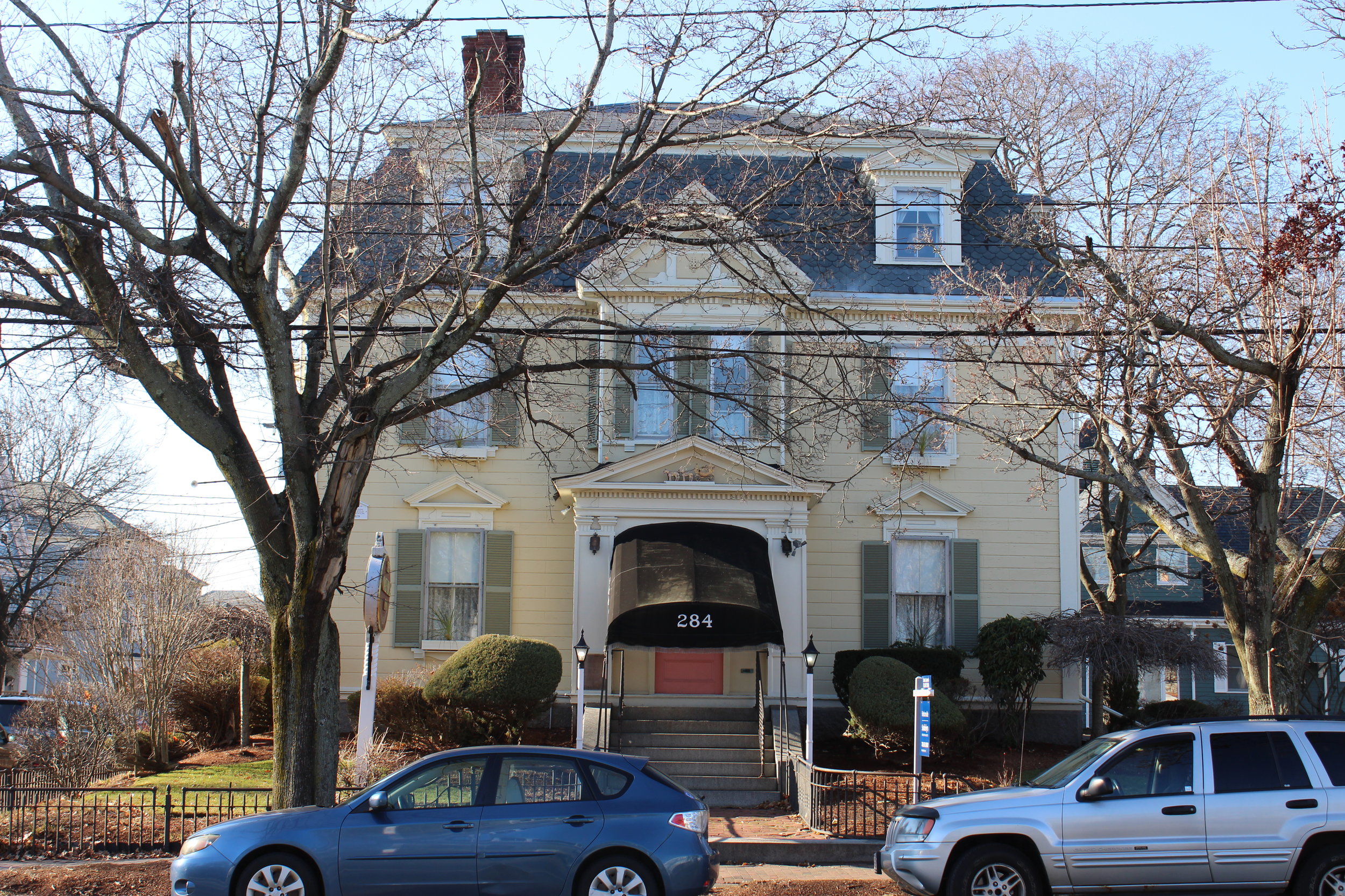
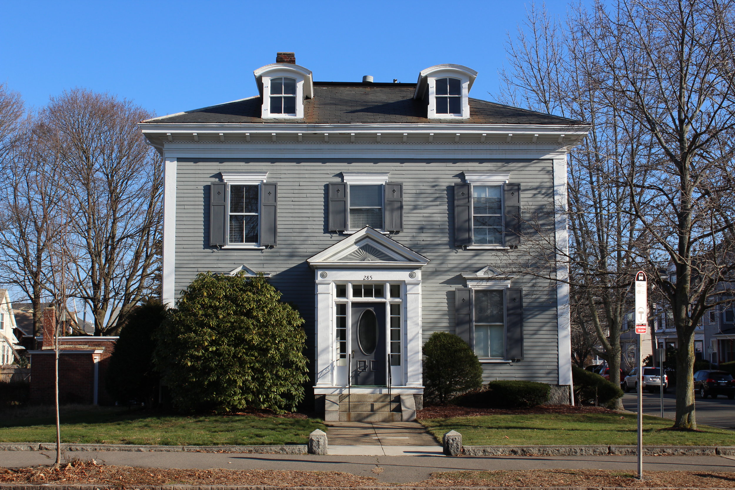
The Lafayette Street Historic District contains Salem’s most important collection of late 19th century Victorian-era residences. The district is in an area once known as the South Fields. Although the land was originally held in common ownership, by the early 18th century most of the fields were in private hands and served as farms, summer homes, and country estates. Ezekial Hersey Derby was a major property owner and he, with others, sponsored the construction of a new bridge in 1805 near the present intersection of New Derby and Lafayette Streets. From that time until 1900, many high-style homes were constructed along Lafayette Street.
As the century progressed, the larger estates were subdivided into building lots. Such was the case of Ezekial Hersey Derby’s land along Lafayette Street, stretching from Laurel and Willow Streets to Forest and Clifton Avenues, bounded to the east by Salem Sound and to the west by the Mill Pond. In 1867 and 1868, this area was developed by speculators James F. Almy, Nathaniel Wiggin, and Charles S. Clark (Almy was the founder of the department store of the same name). Fine houses were built on the former Derby Estate in the Italianate, Second Empire, Queen Anne, and Colonial Revival styles. Then the disastrous Fire of 1914 destroyed a portion of Lafayette Street from Derby Street to Holly and Leach Streets leaving the buildings in this district as important historical and architectural survivors.